Route
252.8KM · Cullinan → Dullstroom
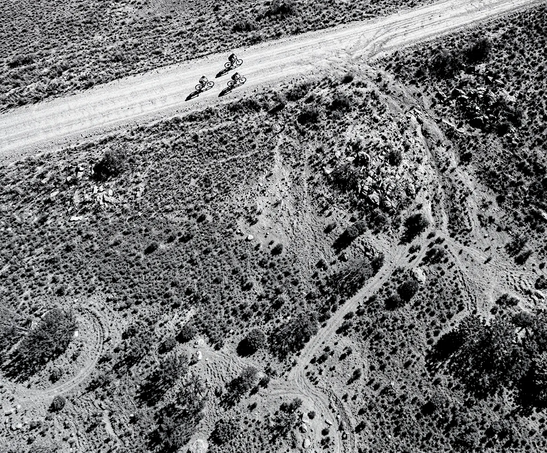
One unmarked line across two provinces, drawn through the dark. Here's every kilometre of what you're taking on.
- 0.8 kmDistance
- 0 mAscent
- 0 mDescent
- 0Water Points
- 0+ mFinish altitude
Elevation // every metre you'll earn
Downloads
Download the rider prep document
Make sure you get the lo-down on everything you need straight from the horse's mouth.
Download nowThe journey
Cullinan to the Dark
The route breaks into three acts. Each one asks something different of you.
The sunset start
Into the Night
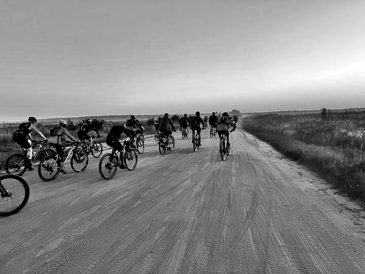
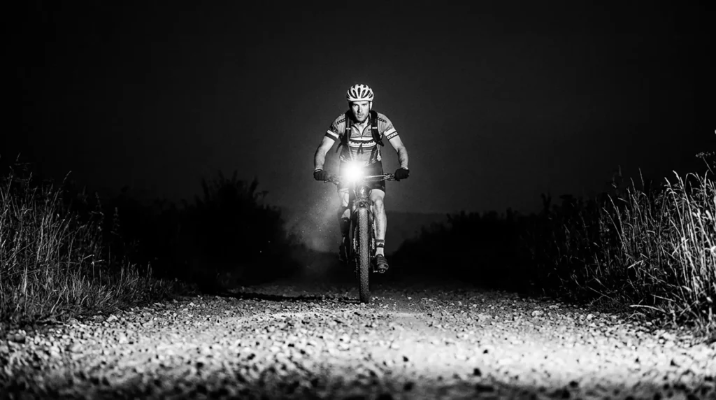
The gun goes at 17:00 outside Railways Café. You roll out of the historic diamond town of Cullinan into fast district roads while there's still light, then the sun drops and the real race begins.
Fast gravel, rolling farmland, big open skies. Get your pacing wrong here and you'll pay for it later, in the dark, alone.
Fast gravel, rolling farmland, big open skies. Get your pacing wrong here and you'll pay for it later, in the dark, alone.
- WP1: 65km
- CP1/WP2: 128km — de Villa Lodge, Loskop
- Terrain: Fast district roads
The long dark middle
Through the Bushveld
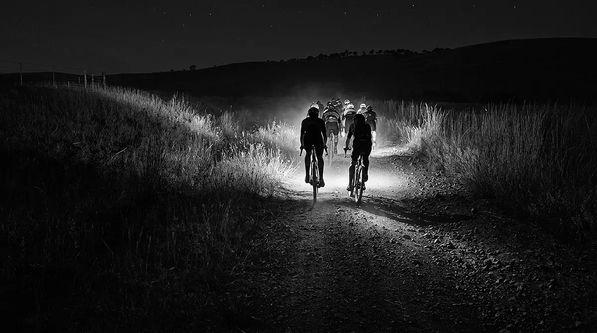
Drop into the Loskop Dam bushveld, then start the long climb back out through the cold Mpumalanga night. The altitude creeps up. The temperature drops. The road gets harder.
This is where the race reveals itself - somewhere between Stoffberg and Korfnek, when the Steenkampsberg is still ahead and your legs have already given more than they thought they had.
This is where the race reveals itself - somewhere between Stoffberg and Korfnek, when the Steenkampsberg is still ahead and your legs have already given more than they thought they had.
- Pop-up WP: 149km
- WP3: 174km
- CP2/WP: 205km — Stoffberg Silos
The final push
Climb to the Finish
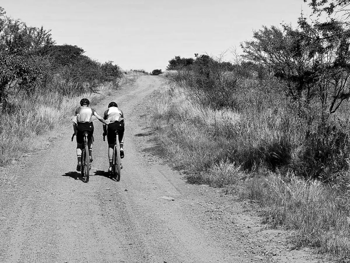
The sting in the tail: Korfnek Pass at ~233km, then a grind up onto the highland plateau above 2,000m. A tough 20km climb to the line on already-spent legs.
Finish in Dullstroom at Dunkeld Country & Equestrian Estate as the sun comes up. Most riders roll in between early morning and midday Saturday.
Book AccommodationFinish in Dullstroom at Dunkeld Country & Equestrian Estate as the sun comes up. Most riders roll in between early morning and midday Saturday.
- Korfnek WP: 233km
- Finish: Dullstroom Rider's Village
The signature challenge
Korfnek. It's a Hill. Get Over It.
140 vertical metres over 1.8km of loose gravel and small boulders at roughly 8% - attempted after more than 200km in the saddle. It's the moment the route stops being a ride and becomes a test.
- Korfnek WP: 233km
- Finish: Dunkeld Country & Equestrian Estate
Where you can refuel
Water Points & Support
Scan in at every water point - no exceptions. Support is only allowed at the two manned checkpoints.
| Waterpoint | Distance | Point to distance | Ascent |
|---|---|---|---|
| WP1 Dirk's Place Wilge River | 77km | 77km | 599m |
| WP2 De Villa River Resort at Loskopdam | 129km | 54km | 524m |
| WP3 Farmer Bhikoo | 148km | 20km | 252m |
| WP4 Selonsriver - Farmer David | 175km | 26km | 538m |
| WP5 Opposite Blinkwater Mills Stofberg | 206km | 31km | 614m |
| WP6 Rainbow Valley | 226km | 20km | 226m |
| WP7 Korfnek Pass | 234km | 8km | 318m |
| WP8 The Finish at Dunkeld Estate | 250km | 14km | 372m |
WP1
Distance65km
What's thereWater point - scan in
Support—
CP1 / WP2
Distance128km
What's therede Villa Lodge, Loskop - meals, ablutions, bike mechanic (halfway)
SupportCrew allowed
Pop-up WP
Distance149km
What's thereWater point - scan in
Support—
WP3
Distance174km
What's thereWater point - scan in
Support—
CP2 / WP
Distance205km
What's thereStoffberg Silos
SupportCrew allowed
Korfnek WP
Distance233km
What's thereWater point - top of the climb
Support—
No markings. No closed roads.
You Navigate
R2T is a GPS-only route. No arrows, no marshals pointing the way - just a GPX file and your device. The final GPX is sent to riders one week before race day. Know your device, and load both FIT and GPX files before you arrive.
Jump to the GPX download ↑Think You Can Tame It?
252.8km of unmarked gravel, one sleepless night, and a climb that breaks people. The route's waiting.